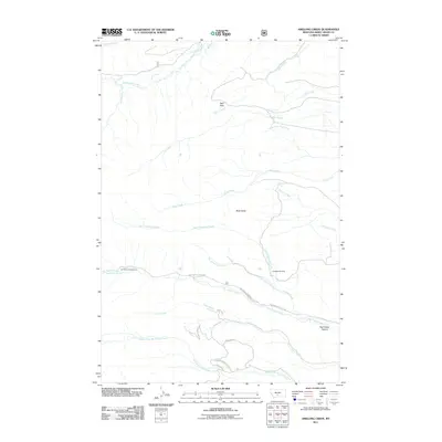
2011 Map of Amelong Creek
USGS Topo · Published 2011About this map
Big Timber Creek carves a deep path through the eastern foothills of the Crazy Mountains, defining the southern landscape of this 2011 survey. The drainage network is dense and complex, featuring the convergence of North Amelong Creek, South Amelong Creek, and the main Amelong Creek stem. Human presence in this high-elevation terrain is centered on resource management and recreation, evidenced by the Big Timber Cr Admin Site and the Half Moon Campground near the dramatic Upper Big Timber Falls. To the north, the terrain transitions into significant high points like Black Butte and the natural depression of Wolf Park. The inclusion of the Langhus Airstrip highlights the specialized transportation needs required to access these remote reaches of Sweet Grass County.
Find a feature on this map
26 named features on this map. Tap any name to fly to it.
Don’t see what you’re looking for? This feature index may not catch every label — zoom into the map to look around manually.
Map Details
Editions of this 2011 Amelong Creek Map
This is the sole edition of this map. No revisions or reprints were ever made.
Other maps of this area

1886 · Little Belt Mts.
USGS Topo · 1:250,000

1891 · Livingston
USGS Topo · 1:250,000

1893 · Livingston
USGS Topo · 1:250,000

1894 · Little Belt Mts.
USGS Topo · 1:250,000

1897 · Little Belt Mts.
USGS Topo · 1:250,000

1898 · Little Belt Mts.
USGS Topo · 1:250,000

1902 · Little Belt Mts.
USGS Topo · 1:250,000

1947 · Bozeman
USGS Topo · 1:250,000

1948 · Bozeman
USGS Topo · 1:250,000

1948 · White Sulphur Springs
USGS Topo · 1:250,000