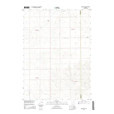
2015 Map of Amend Ranch
USGS Topo · Published 2015About this map
Amend Ranch anchors the high plains of eastern Converse County in this recent survey, situated in a landscape defined by seasonal drainages and rural county roads. The terrain is marked by the passage of Watkins Draw and the headwaters of Lost Cr and Muddy Cr, showing the essential water-dependent settlement patterns of this ranching country. Along the eastern edge, the map traces the straight-line boundary between Converse County and Niobrara County, a political divide that cuts across the natural contours of the land. A notable site for local researchers is the Prairie View Cem, located just west of the county line off Lost Springs Rd. This map reflects the enduring infrastructure of the Wyoming interior, where life follows a network of gravel arteries like Harris Rd and Reese Rd that connect isolated homesteads across the vast township and range sections.
Find a feature on this map
16 named features on this map. Tap any name to fly to it.
Don’t see what you’re looking for? This feature index may not catch every label — zoom into the map to look around manually.
Map Details
Editions of this 2015 Amend Ranch Map
This is the sole edition of this map. No revisions or reprints were ever made.
Other maps of this area

1949 · Shawnee
USGS Topo · 1:24,000

1949 · Cedar Top
USGS Topo · 1:24,000

1950 · Glendo
USGS Topo · 1:24,000

1950 · Amend Ranch
USGS Topo · 1:24,000

1950 · Cedar Top
USGS Topo · 1:24,000

1950 · Prairie View School
USGS Topo · 1:24,000

1950 · Shawnee
USGS Topo · 1:24,000

1950 · Jewel Springs
USGS Topo · 1:24,000

1954 · Torrington
USGS Topo · 1:250,000

1958 · Torrington
USGS Topo · 1:250,000