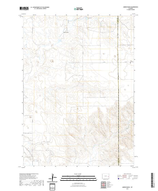
2021 Map of Amend Ranch
USGS Topo · Published 2021About this map
Amend Ranch stands as a focal point in this high plains landscape along the border of Converse and Niobrara Counties. This 2021 survey illustrates a region defined by its drainage systems and rural infrastructure, where seasonal watercourses like Lost Cr and Muddy Cr carve paths through the terrain. The presence of Watkins Draw suggests the subtle topography that governs local land use in this part of Wyoming.
Find a feature on this map
14 named features on this map. Tap any name to fly to it.
Don’t see what you’re looking for? This feature index may not catch every label — zoom into the map to look around manually.
Map Details
Editions of this 2021 Amend Ranch Map
This is the sole edition of this map. No revisions or reprints were ever made.
Other maps of this area

1949 · Shawnee
USGS Topo · 1:24,000

1949 · Cedar Top
USGS Topo · 1:24,000

1950 · Glendo
USGS Topo · 1:24,000

1950 · Amend Ranch
USGS Topo · 1:24,000

1950 · Cedar Top
USGS Topo · 1:24,000

1950 · Prairie View School
USGS Topo · 1:24,000

1950 · Shawnee
USGS Topo · 1:24,000

1950 · Jewel Springs
USGS Topo · 1:24,000

1954 · Torrington
USGS Topo · 1:250,000

1958 · Torrington
USGS Topo · 1:250,000