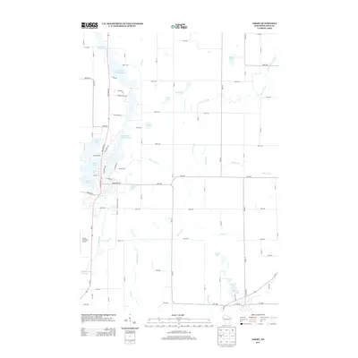
2013 Map of Amery
USGS Topo · Published 2013About this map
The Apple River and its accompanying Apple River Flowage 134 define the hydrography of this Polk County landscape. This 2013 survey illustrates a region where water management and recreation are central to the geography, featuring numerous named bodies such as N Twin Lake, S Twin Lake, and Lincoln Lake. The map reveals a transition between the concentrated development near the Amery Municipal Airport and the expansive network of creeks and brooks that feed into the larger flowages.
Find a feature on this map
80 named features on this map. Tap any name to fly to it.
Don’t see what you’re looking for? This feature index may not catch every label — zoom into the map to look around manually.
Map Details
Editions of this 2013 Amery Map
This is the sole edition of this map. No revisions or reprints were ever made.
Other maps of this area

1948 · Downing
USGS Topo · 1:62,500

1950 · Downing
USGS Topo · 1:62,500

1950 · Deer Park
USGS Topo · 1:62,500

1950 · Balsam Lake
USGS Topo · 1:62,500

1950 · Turtle Lake
USGS Topo · 1:62,500

1952 · Turtle Lake
USGS Topo · 1:62,500

1953 · Stillwater
USGS Topo · 1:250,000

1955 · Stillwater
USGS Topo · 1:250,000

1958 · Stillwater
USGS Topo · 1:250,000

1965 · Stillwater
USGS Topo · 1:250,000