Loading...
Loading map...2022 Map of Amery
USGS Topo · Published 2022About this map
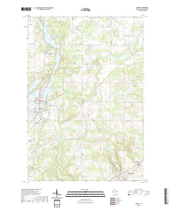
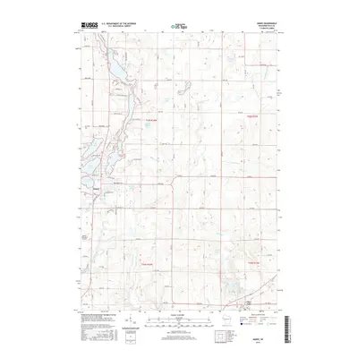
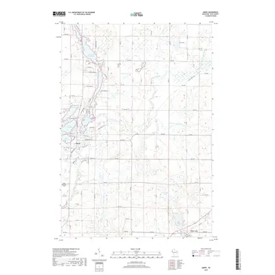
The Apple River meanders through the heart of the landscape, feeding into the Apple River Flowage 134 just north of the city of Amery. This area of Polk County is defined by its glacial hydrology, with numerous basins such as Pike Lake, North Twin Lake, and Lincoln Lake dotting the terrain. The presence of the Cattail State Tri following an old rail corridor suggests the transition from industrial transportation to modern recreational use.
Find a feature on this map
94 named features on this map. Tap any name to fly to it.
Don’t see what you’re looking for? This feature index may not catch every label — zoom into the map to look around manually.
Map Details
Date Portrayed2022
Date Published2022
PublisherU.S. Geological Survey
Map TypeTopographic
Scale1:24,000
Physical Dimensions24 x 29 inches
Editions of this 2022 Amery Map
This is the sole edition of this map. No revisions or reprints were ever made.
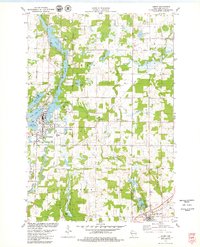
Historical Maps of Amery Through Time
6 maps found
Featured Locations
Source Details
SourceU.S. Geological Survey
CopyrightPublic Domain