
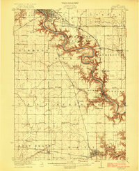
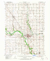
1985 Map of Ames
USGS Topo · Published 1985About this map
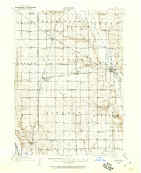
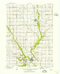
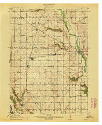
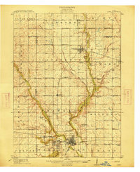
Iowa State University anchors the southern portion of this mid-1980s survey, surrounded by the growing communities of Ames and Ontario. The landscape is defined by the agricultural and educational foundations of Central Iowa, where the Chicago and North Western railroad corridor links a network of grain-handling settlements like Jewell, Story City, and Radcliffe. The drainage patterns of the South Skunk River and Des Moines River systems dictate the location of regional recreation areas, including the Skunk River Green Belt Area and Ledges State Park. The map also preserves the route of the historic Lincoln Highway as it traverses the county lines. Further north, the institutional presence of the State Training School for Boys near Eldora and various municipal airstrips like Webster City Muni Airport highlight the infrastructure serving these rural counties.
Find a feature on this map
125 named features on this map. Tap any name to fly to it.
Don’t see what you’re looking for? This feature index may not catch every label — zoom into the map to look around manually.
Map Details
Editions of this 1985 Ames Map
This is the sole edition of this map. No revisions or reprints were ever made.
Other maps of this area

1911 · Madrid
USGS Topo · 1:62,500
1911 · Slater
USGS Topo · 1:62,500
1912 · Ames
USGS Topo · 1:62,500
1913 · Slater
USGS Topo · 1:62,500

1914 · Madrid
USGS Topo · 1:62,500
1914 · Ames
USGS Topo · 1:62,500

1916 · Boone
USGS Topo · 1:62,500
1923 · Lehigh
USGS Topo · 1:62,500

1923 · Fort Dodge
USGS Topo · 1:62,500
1950 · Perry
USGS Topo · 1:62,500