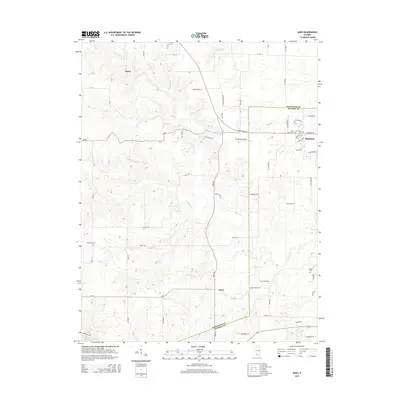
2015 Map of Ames
USGS Topo · Published 2015About this map
Red Bud serves as the primary population center at the eastern edge of this region, where the boundary between Randolph Co and Monroe Co divides the landscape. The terrain is defined by a dense network of tributaries including Horse Cr, Dry Fork, and Paint Cr, which carve through the countryside between the small settlements of Ames and Tipton. For local historians and genealogists, the map identifies several significant burial sites, such as Saint Johns Cem and Saint Peter Cem near the Red Bud outskirts, as well as the more isolated Rebenack Cem and Nelson Cem. The area maintains its rural character with features like the Duclos RLA Airport and small reservoirs including Lake Emmett and Lake Mildred providing distinct landmarks amidst the winding county roads.
Find a feature on this map
54 named features on this map. Tap any name to fly to it.
Don’t see what you’re looking for? This feature index may not catch every label — zoom into the map to look around manually.
Map Details
Editions of this 2015 Ames Map
This is the sole edition of this map. No revisions or reprints were ever made.
Other maps of this area

1910 · Waterloo
USGS Topo · 1:62,500

1912 · New Athens
USGS Topo · 1:62,500

1912 · Baldwin
USGS Topo · 1:62,500

1913 · Waterloo
USGS Topo · 1:62,500

1914 · Baldwin
USGS Topo · 1:62,500

1915 · Renault
USGS Topo · 1:62,500

1940 · Renault
USGS Topo · 1:62,500

1942 · Baldwin
USGS Topo · 1:62,500

1949 · Saint Louis
USGS Topo · 1:250,000

1954 · New Athens West
USGS Topo · 1:24,000