2022 Map of Amherst
USGS Topo · Published 2022About this map
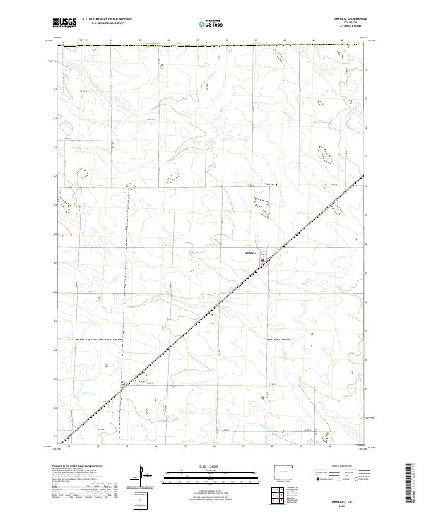
Amherst centers this high plains landscape in Phillips County, serving as a primary hub within a vast grid of agricultural section lines. The settlement's residential grid is anchored by Monmouth Ave, with the Amherst Cem situated to the north along Co RD 38. This 2022 survey captures the persistent rural character of the region, where the terrain is gently interrupted by the winding path of Wildhorse Cr as it traverses the southern sections of the quadrangle. The map clearly delineates the administrative boundary between Sedgwick Co and Phillips Co at the northern edge, following Co Rd 44. Local history researchers and genealogists will find the precise placement of cemeteries and the intricate numbering of the county road system useful for locating ancestral farmsteads and rural landmarks.
Find a feature on this map
26 named features on this map. Tap any name to fly to it.
Don’t see what you’re looking for? This feature index may not catch every label — zoom into the map to look around manually.
Map Details
Editions of this 2022 Amherst Map
This is the sole edition of this map. No revisions or reprints were ever made.