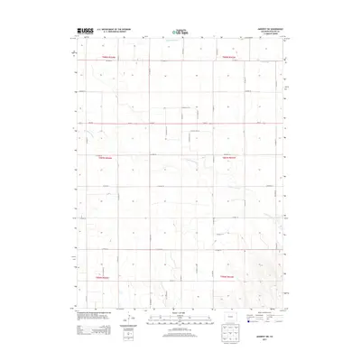
2013 Map of Amherst SW
USGS Topo · Published 2013About this map
Frenchman Creek and Wildhorse Creek define the drainage of this high plains landscape in Phillips County. The terrain is characterized by the structured grid of the Public Land Survey System, with township lines for t007n r043w and surrounding ranges marking the vast agricultural sections. Transportation is dominated by the linear path of Us-6 W and Us-6 E, which cut across the center of the quadrangle. Aside from these primary routes, the map is defined by a rigorous network of county roads including Co Road 26 and Co Road 12, which serve the rural farming plots typical of the Colorado eastern plains. This 2013 survey reflects a landscape of managed agricultural production, where intermittent watercourses provide the only interruption to the geometric precision of the road network.
Find a feature on this map
20 named features on this map. Tap any name to fly to it.
Don’t see what you’re looking for? This feature index may not catch every label — zoom into the map to look around manually.
Map Details
Editions of this 2013 Amherst SW Map
This is the sole edition of this map. No revisions or reprints were ever made.
Other maps of this area

1954 · Sterling
USGS Topo · 1:250,000

1958 · Sterling
USGS Topo · 1:250,000

1962 · Holyoke NE
USGS Topo · 1:24,000

1962 · Amherst
USGS Topo · 1:24,000

1962 · Amherst NE
USGS Topo · 1:24,000

1971 · Amherst SW
USGS Topo · 1:24,000

1971 · Holyoke
USGS Topo · 1:24,000

1971 · Alvin NW
USGS Topo · 1:24,000

1971 · Amherst SE
USGS Topo · 1:24,000

1971 · Wauneta NE
USGS Topo · 1:24,000