
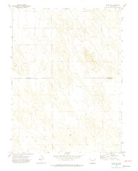
1971 Map of Alvin NW
USGS Topo · Published 1974About this map
The rolling sand-hill landscape of the Colorado plains is meticulously documented in this 1971 survey of the borderlands between Phillips Co and Yuma Co. The terrain is defined by a rhythmic series of northwest-to-southeast ridges, where the only prominent landmark in the southern reaches is Vogus. This area illustrates the mid-century expansion of energy infrastructure into remote agricultural regions, most notably marked by the long Pipeline that cuts across the southwestern sections of the map. The distribution of numerous water Wells throughout the dunes indicates the intensive subterranean water management required to sustain life and ranching in this arid environment, revealing a hidden network of utility beneath the surface of the dry prairie.
Find a feature on this map
4 named features on this map. Tap any name to fly to it.
Don’t see what you’re looking for? This feature index may not catch every label — zoom into the map to look around manually.
Map Details
Editions of this 1971 Alvin NW Map
3 editions found
Other maps of this area

1954 · Sterling
USGS Topo · 1:250,000

1958 · Sterling
USGS Topo · 1:250,000

1971 · Amherst SW
USGS Topo · 1:24,000

1971 · Holyoke
USGS Topo · 1:24,000

1971 · Amherst SE
USGS Topo · 1:24,000

1971 · Alvin SW
USGS Topo · 1:24,000

1971 · Wauneta NE
USGS Topo · 1:24,000

1971 · Alvin
USGS Topo · 1:24,000

1971 · Wauneta
USGS Topo · 1:24,000

1971 · Alvin NE
USGS Topo · 1:24,000