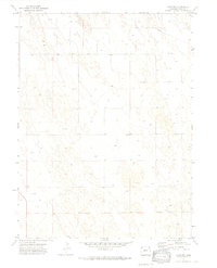
1971 Map of Alvin SW
USGS Topo · Published 1974About this map
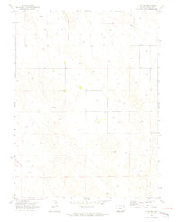
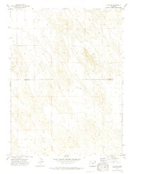
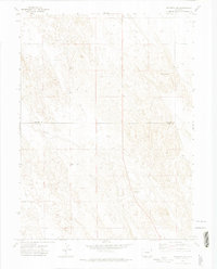
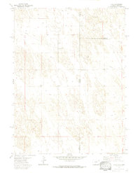
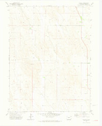
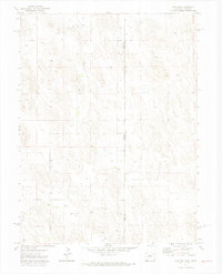
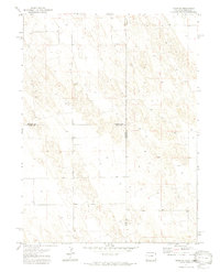
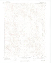
The high plains landscape of Yuma County is defined by an extensive grid of irrigation and resource extraction, as evidenced by the numerous Well markings scattered across the terrain. Surveyed in the early 1970s, the area shows a distinct lack of concentrated settlements, instead emphasizing the vastness of the Colorado prairie. Small, isolated landmarks offer unique genealogical points of interest, such as the solitary Grave located in section 16 and the Ceres marker further south. A single Pipeline cuts diagonally across the northern sections, tracing a path through the townships of T. 5 N. and T. 4 N.. This topographic study captures a moment when industrial water management and boundary lines dictated the character of the land far more than urban development.
Find a feature on this map
7 named features on this map. Tap any name to fly to it.
Don’t see what you’re looking for? This feature index may not catch every label — zoom into the map to look around manually.
Map Details
Editions of this 1971 Alvin SW Map
3 editions found

Other maps of this area

1954 · Sterling
USGS Topo · 1:250,000

1958 · Sterling
USGS Topo · 1:250,000
1971 · Alvin NW
USGS Topo · 1:24,000
1971 · Wauneta NE
USGS Topo · 1:24,000
1971 · Alvin
USGS Topo · 1:24,000
1971 · Wauneta
USGS Topo · 1:24,000
1971 · Wray NE
USGS Topo · 1:24,000

1971 · Eckley NE
USGS Topo · 1:24,000
1971 · Alvin NE
USGS Topo · 1:24,000
1971 · Wray NW
USGS Topo · 1:24,000