
1971 Map of Alvin
USGS Topo · Published 1974About this map
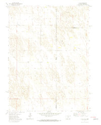
Alvin sits at the intersection of the High Plains and agricultural frontier, marking a point where the Colorado-Nebraska border meets the Nebraska-Kansas-Colorado corner. This 1971 survey illustrates the sparse but deliberate infrastructure required for survival in this arid landscape, dominated by a grid of section lines and widely scattered wells. The map documents a clear shift toward industrial utility with a prominent Pipeline cutting across the northern sections, supported by a Pumping Sta and Substa. For family historians, the presence of the Hughes Cem near the state line provides a vital genealogical anchor for the early settlers of Yuma County and Dundy County. The terrain is largely defined by wind-sculpted depressions and sand hills, with a Gravel Pit highlighting the local extraction activities common in this high-plains region.
Find a feature on this map
11 named features on this map. Tap any name to fly to it.
Don’t see what you’re looking for? This feature index may not catch every label — zoom into the map to look around manually.
Map Details
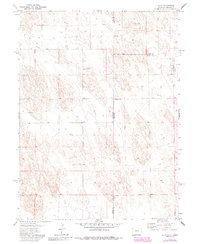
Editions of this 1971 Alvin Map
3 editions found
Other maps of this area

1954 · Sterling
USGS Topo · 1:250,000

1954 · McCook
USGS Topo · 1:250,000

1957 · McCook
USGS Topo · 1:250,000

1958 · McCook
USGS Topo · 1:250,000

1958 · Sterling
USGS Topo · 1:250,000

1971 · Alvin NW
USGS Topo · 1:24,000

1971 · Alvin SW
USGS Topo · 1:24,000

1971 · Wray NE
USGS Topo · 1:24,000

1971 · Alvin NE
USGS Topo · 1:24,000
1971 · Wray NW
USGS Topo · 1:24,000