
1971 Map of Wray NE
USGS Topo · Published 1974About this map
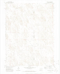
The high plains along the Colorado-Nebraska border define this 1971 landscape, where the primary human footprint is found at the Ceres Ranch. The terrain is characterized by undulating topography and a significant reliance on groundwater, indicated by the numerous wells scattered across the township sections. This area serves as a physical meeting point for Yuma County and Dundy County, marking the intersection of two states and two distinct local jurisdictions. Industrial activity in this rural expanse is limited, though a Gravel Pit and surveyed markers like BM 3599 suggest the infrastructure and resource management of the early 1970s. The map illustrates a sparse, ranch-oriented settlement pattern typical of the eastern plains during this era.
Find a feature on this map
6 named features on this map. Tap any name to fly to it.
Don’t see what you’re looking for? This feature index may not catch every label — zoom into the map to look around manually.
Map Details
Editions of this 1971 Wray NE Map
3 editions found
Other maps of this area

1954 · Sterling
USGS Topo · 1:250,000

1954 · McCook
USGS Topo · 1:250,000

1957 · McCook
USGS Topo · 1:250,000

1958 · McCook
USGS Topo · 1:250,000

1958 · Sterling
USGS Topo · 1:250,000
1961 · Haigler
USGS Topo · 1:24,000

1961 · Laird
USGS Topo · 1:24,000

1961 · Wray
USGS Topo · 1:24,000

1971 · Alvin SW
USGS Topo · 1:24,000

1971 · Alvin
USGS Topo · 1:24,000