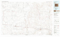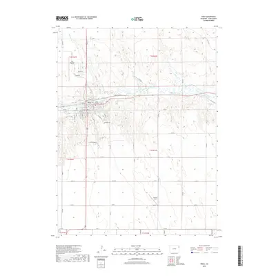
1961 Map of Wray
USGS Topo · Published 1963About this map
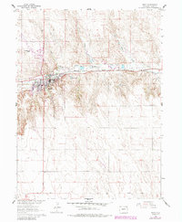
Wray serves as the focal point of this Eastern Colorado landscape, situated at the confluence of several vital watercourses and transportation routes. The North Fork Republican River carves a path through the terrain, joined by tributaries like Holy Joe Creek, Hayes Creek, and Bloom Creek. This 1960s-era survey highlights the vital role of water management in the High Plains, evidenced by the presence of Olive Lake and irrigation infrastructure such as the Laird Canal and Haigler Canal. The town's connection to the wider region is anchored by the Chicago Burlington and Quincy railroad, which runs parallel to the river. Local landmarks such as the Wray Cem, Wray Airport, and several gravel pits provide specific points of interest for genealogists and local historians tracking the development of Yuma County.
Find a feature on this map
17 named features on this map. Tap any name to fly to it.
Don’t see what you’re looking for? This feature index may not catch every label — zoom into the map to look around manually.
Map Details
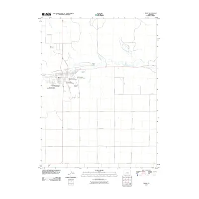
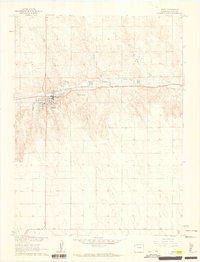
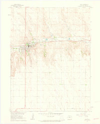
Editions of this 1961 Wray Map
4 editions found
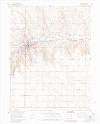
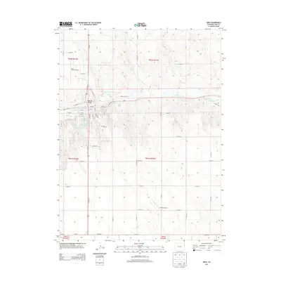
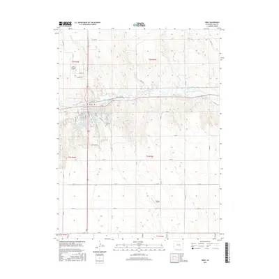
Historical Maps of Wray Through Time
7 maps found