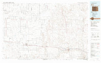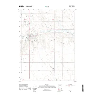
1961 Map of Wray
USGS Topo · Published 1985About this map
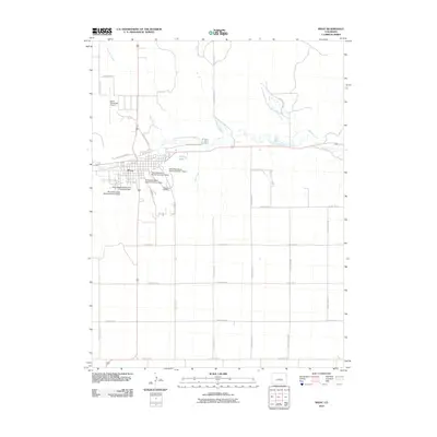
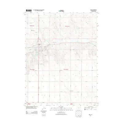
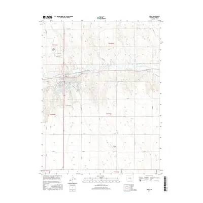
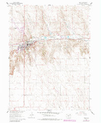
The Wray townsite sits at a significant geographical junction where the North Fork Republican River meets several incoming drainages like Joe Creek and Hayes Creek. This 1961 survey, updated with 1980s aerial data, shows the community as a regional hub for the eastern plains of Colorado, supported by the Burlington Northern railroad corridor. The presence of the Haigler Canal and Olive Lake indicates the critical role of water management in this prairie landscape. Local landmarks such as the Wray Municipal Airport and the Wray Cem southeast of town provide important points of reference for genealogists and local historians. The surrounding terrain is marked by multiple gravel pits and an auxiliary Landing Strip, reflecting the diverse transportation and industrial needs of Yuma County during the mid-to-late 20th century.
Find a feature on this map
16 named features on this map. Tap any name to fly to it.
Don’t see what you’re looking for? This feature index may not catch every label — zoom into the map to look around manually.
Map Details
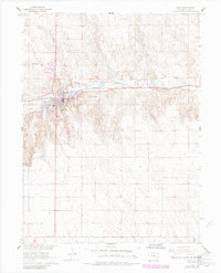
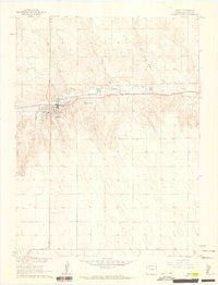
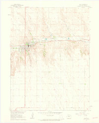
Editions of this 1961 Wray Map
4 editions found
Historical Maps of Wray Through Time
7 maps found