
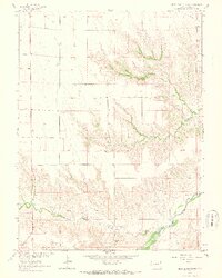
1963 Map of Beecher Island NW
USGS Topo · Published 1965About this map
The Arikaree River basin in Yuma County serves as the central focal point for this mid-century topographic study, which captures a landscape defined by intermittent drainage and agricultural isolation. The terrain is marked by the convergence of the North Fork and South Fork, creating a complex network of draws and seasonal waterways such as Willow Creek and Black Wolf Creek. This area of the High Plains appears largely rural and sparse, with human activity represented by scattered structures and a designated Grave located north of the river. A local landmark, Squaw Hill, rises above the river valley near a Gravel Pit, providing a rare topographic variance in an otherwise steady incline toward the west. The mapping reflects the Missouri River Basin development program's interest in the hydrologic patterns of these high-altitude plains prior to significant modern infrastructure.
Find a feature on this map
8 named features on this map. Tap any name to fly to it.
Don’t see what you’re looking for? This feature index may not catch every label — zoom into the map to look around manually.
Map Details
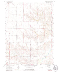
Editions of this 1963 Beecher Island NW Map
3 editions found
Other maps of this area

1954 · Limon
USGS Topo · 1:250,000

1954 · Sterling
USGS Topo · 1:250,000

1957 · Limon
USGS Topo · 1:250,000

1958 · Limon
USGS Topo · 1:250,000

1958 · Sterling
USGS Topo · 1:250,000

1961 · Robb
USGS Topo · 1:24,000

1961 · Laird
USGS Topo · 1:24,000

1961 · Wray
USGS Topo · 1:24,000

1963 · Vernon
USGS Topo · 1:24,000

1963 · Beecher Island
USGS Topo · 1:24,000