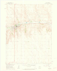
1961 Map of Wray
USGS Topo · Published 1963About this map
Wray serves as the focal point of this Eastern Plains landscape, situated where the North Fork Republican River meets several local drainages. The town’s early 1960s footprint shows a well-defined street grid supported by the Chicago Burlington and Quincy railroad, which runs parallel to the river. The surrounding terrain is characterized by the convergence of Holy Joe Creek, Hayes Creek, and Bloom Creek, all feeding into the main river valley.
Find a feature on this map
17 named features on this map. Tap any name to fly to it.
Don’t see what you’re looking for? This feature index may not catch every label — zoom into the map to look around manually.
Map Details
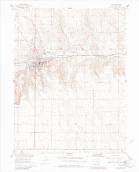
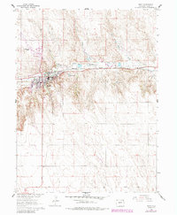
Editions of this 1961 Wray Map
4 editions found
Other maps of this area

1954 · Limon
USGS Topo · 1:250,000

1954 · Sterling
USGS Topo · 1:250,000

1957 · Limon
USGS Topo · 1:250,000

1958 · Limon
USGS Topo · 1:250,000

1958 · Sterling
USGS Topo · 1:250,000

1961 · Robb
USGS Topo · 1:24,000

1961 · Laird
USGS Topo · 1:24,000

1961 · Wray
USGS Topo · 1:24,000

1963 · Vernon
USGS Topo · 1:24,000

1963 · Beecher Island NW
USGS Topo · 1:24,000