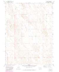
1971 Map of Alvin SW
USGS Topo · Published 1985About this map
Isolated Well sites and a single Grave define the sparse human presence across this high plains landscape of Yuma County during the early 1970s. The map illustrates a region dominated by ranching and resource extraction, with a network of fence lines and a major Pipeline cutting diagonally across the northern sections. This topography is shaped by countless small depressions and ridges, characteristic of the dune-like formations found in this part of eastern Colorado. Near the center of the sheet, the label Ceres marks a specific point of interest in an otherwise open expanse of section lines. The documentation of individual Well locations provides a clear record of groundwater reliance and early energy development for local historians and land researchers studying the rural infrastructure of the High Plains before modern technological shifts.
Find a feature on this map
7 named features on this map. Tap any name to fly to it.
Don’t see what you’re looking for? This feature index may not catch every label — zoom into the map to look around manually.
Map Details
Editions of this 1971 Alvin SW Map
3 editions found
Other maps of this area

1954 · Sterling
USGS Topo · 1:250,000

1958 · Sterling
USGS Topo · 1:250,000

1971 · Alvin NW
USGS Topo · 1:24,000

1971 · Alvin SW
USGS Topo · 1:24,000

1971 · Wauneta NE
USGS Topo · 1:24,000

1971 · Alvin
USGS Topo · 1:24,000

1971 · Wauneta
USGS Topo · 1:24,000

1971 · Wray NE
USGS Topo · 1:24,000

1971 · Eckley NE
USGS Topo · 1:24,000

1971 · Alvin NE
USGS Topo · 1:24,000