
1971 Map of Wauneta
USGS Topo · Published 1974About this map
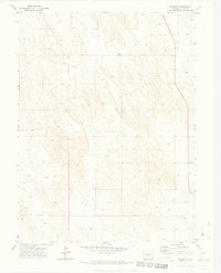
Wauneta sits on the high plains of Eastern Colorado, characterized by a vast agricultural grid system mapped during a 1971 field check. This corner of Yuma County is defined by its deep reliance on groundwater, evidenced by the numerous Well sites scattered across the landscape to support the region's farming economy. The infrastructure of the early 1970s is further detailed by the presence of a Substation near the northern boundary, highlighting the rural electrification necessary for modern ranching and irrigation. While the terrain appears uniform, the careful mapping of section lines and unimproved roads reveals the precise organization of the American West's interior at the start of the decade.
Find a feature on this map
5 named features on this map. Tap any name to fly to it.
Don’t see what you’re looking for? This feature index may not catch every label — zoom into the map to look around manually.
Map Details
Editions of this 1971 Wauneta Map
3 editions found
Other maps of this area

1954 · Sterling
USGS Topo · 1:250,000

1958 · Sterling
USGS Topo · 1:250,000

1971 · Alvin NW
USGS Topo · 1:24,000

1971 · Alvin SW
USGS Topo · 1:24,000

1971 · Fiddler Peak
USGS Topo · 1:24,000

1971 · Wauneta NE
USGS Topo · 1:24,000

1971 · Eckley NE
USGS Topo · 1:24,000
1971 · Wray NW
USGS Topo · 1:24,000

1971 · Old Baldy
USGS Topo · 1:24,000
1971 · Eckley NW
USGS Topo · 1:24,000