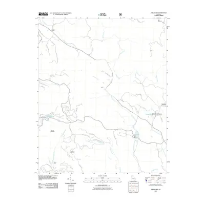
2011 Map of Amicalola
USGS Topo · Published 2011About this map
Sassafras Mountain and Burnt Mountain anchor this North Georgia landscape, where a network of forest roads and trails winds through the southern reaches of the Blue Ridge. The terrain is defined by the headwaters of Amicalola Creek, which is fed by numerous tributaries such as Huckleberry Branch and Fall Creek. The small community of Licklog is situated along the upper stretches of the creek, while the namesake settlement of Amicalola lies to the southeast near Little Amicalola Creek.
Find a feature on this map
52 named features on this map. Tap any name to fly to it.
Don’t see what you’re looking for? This feature index may not catch every label — zoom into the map to look around manually.
Map Details
Editions of this 2011 Amicalola Map
This is the sole edition of this map. No revisions or reprints were ever made.
Other maps of this area

1888 · Ellijay
USGS Topo · 1:125,000

1890 · Suwanee
USGS Topo · 1:125,000

1892 · Ellijay
USGS Topo · 1:125,000

1894 · Suwanee
USGS Topo · 1:125,000

1898 · Ellijay
USGS Topo · 1:125,000

1911 · Ellijay
USGS Topo · 1:125,000

1926 · Tate
USGS Topo · 1:62,500

1928 · Tate
USGS Topo · 1:62,500

1935 · Noontootla
USGS Topo · 1:24,000

1935 · Tickanetley
USGS Topo · 1:24,000