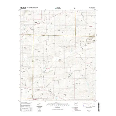
2014 Map of Amity
USGS Topo · Published 2014About this map
Amity and the surrounding river bottoms of Clark and Pike counties dominate this 2014 survey. The landscape is defined by the winding course of the Caddo River, which flows past landmarks like Sugarloaf Knob toward the waters of De Gray Lake in the southeast. This contemporary record captures the region's intersection of rural industry and protected lands, with the Ouachita National Forest occupying the northwestern corner.
Find a feature on this map
121 named features on this map. Tap any name to fly to it.
Don’t see what you’re looking for? This feature index may not catch every label — zoom into the map to look around manually.
Map Details
Editions of this 2014 Amity Map
This is the sole edition of this map. No revisions or reprints were ever made.
Other maps of this area

1906 · Caddo Gap
USGS Topo · 1:125,000

1936 · Glenwood
USGS Topo · 1:48,000

1942 · Glenwood
USGS Topo · 1:62,500

1943 · Antoine
USGS Topo · 1:62,500

1949 · Glenwood
USGS Topo · 1:62,500

1955 · Little Rock
USGS Topo · 1:250,000

1956 · Little Rock
USGS Topo · 1:250,000

1960 · Little Rock
USGS Topo · 1:250,000

1964 · Little Rock
USGS Topo · 1:250,000

1966 · Pearcy
USGS Topo · 1:24,000