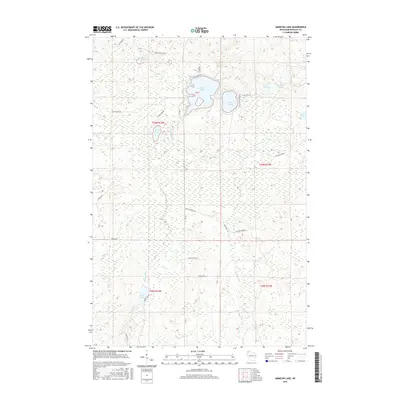
2015 Map of Amnicon Lake
USGS Topo · Published 2015About this map
Amnicon Lake and Dowling Lake anchor this 2015 study of the upper Douglas County watershed. This glacial landscape is defined by its high density of small water bodies and wetlands, ranging from the sizeable Mud Lake in the north to the smaller One-Buck Lake and Scout Lake further east. The area's hydrology is primarily shaped by the meandering Amnicon River and its tributaries, including Erickson Creek and Bear Creek.
Find a feature on this map
34 named features on this map. Tap any name to fly to it.
Don’t see what you’re looking for? This feature index may not catch every label — zoom into the map to look around manually.
Map Details
Editions of this 2015 Amnicon Lake Map
This is the sole edition of this map. No revisions or reprints were ever made.
Other maps of this area

1915 · Superior
USGS Topo · 1:48,000

1917 · Superior
USGS Topo · 1:62,500

1945 · Solon Springs
USGS Topo · 1:48,000

1949 · Solon Springs
USGS Topo · 1:48,000

1949 · Patzau
USGS Topo · 1:48,000

1949 · Poplar
USGS Topo · 1:48,000

1953 · Ashland
USGS Topo · 1:250,000

1953 · Duluth
USGS Topo · 1:250,000

1954 · Borea
USGS Topo · 1:24,000

1954 · Sunnyside
USGS Topo · 1:24,000