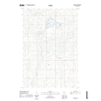
2018 Map of Amnicon Lake
USGS Topo · Published 2018About this map
Amnicon Lake and Dowling Lake anchor this northern Wisconsin landscape, where a complex network of glacial water bodies and wetlands defines the local geography. The area's hydrology is primarily shaped by the Amnicon River and several smaller systems, including Bear Creek and Ericson Cr. The land is crisscrossed by a grid of rural routes and trails that suggest a region historically tied to timber management and seasonal recreation, with roads such as Reichuster Lake Rd and Sutherland Rd providing access to more remote pockets like Scout Lake and One Buck Lake. The abundance of smaller basins, including Mud Lake and Bear Lake, creates a fragmented terrain characteristic of the Douglas County backcountry, where the placement of tracks like Hunter Trl and Wanek Trl reflects the natural contours of the marshy lowlands.
Find a feature on this map
32 named features on this map. Tap any name to fly to it.
Don’t see what you’re looking for? This feature index may not catch every label — zoom into the map to look around manually.
Map Details
Editions of this 2018 Amnicon Lake Map
This is the sole edition of this map. No revisions or reprints were ever made.
Other maps of this area

1915 · Superior
USGS Topo · 1:48,000

1917 · Superior
USGS Topo · 1:62,500

1945 · Solon Springs
USGS Topo · 1:48,000

1949 · Solon Springs
USGS Topo · 1:48,000

1949 · Patzau
USGS Topo · 1:48,000

1949 · Poplar
USGS Topo · 1:48,000

1953 · Ashland
USGS Topo · 1:250,000

1953 · Duluth
USGS Topo · 1:250,000

1954 · Borea
USGS Topo · 1:24,000

1954 · Sunnyside
USGS Topo · 1:24,000