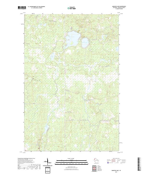
2022 Map of Amnicon Lake
USGS Topo · Published 2022About this map
Amnicon Lake and its surrounding wetlands define this Douglas County landscape, where the Amnicon River begins its course through the north-central Wisconsin woods. This recent survey captures a region characterized by a high density of small water bodies and glacial depressions, including Dowling Lake, Reichuster Lake, and the aptly named Mud Lake. The terrain is largely defined by the drainage patterns of Erickson Cr and Bear Cr, which flow through the southern portion of the quadrangle.
Find a feature on this map
36 named features on this map. Tap any name to fly to it.
Don’t see what you’re looking for? This feature index may not catch every label — zoom into the map to look around manually.
Map Details
Editions of this 2022 Amnicon Lake Map
This is the sole edition of this map. No revisions or reprints were ever made.
Other maps of this area

1915 · Superior
USGS Topo · 1:48,000

1917 · Superior
USGS Topo · 1:62,500

1945 · Solon Springs
USGS Topo · 1:48,000

1949 · Solon Springs
USGS Topo · 1:48,000

1949 · Patzau
USGS Topo · 1:48,000

1949 · Poplar
USGS Topo · 1:48,000

1953 · Ashland
USGS Topo · 1:250,000

1953 · Duluth
USGS Topo · 1:250,000

1954 · Borea
USGS Topo · 1:24,000

1954 · Sunnyside
USGS Topo · 1:24,000