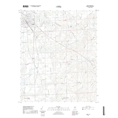
2018 Map of Amory
USGS Topo · Published 2018About this map
Amory dominates the northwestern portion of this Northeast Mississippi landscape, revealing a dense grid of streets and residential avenues such as Concord Ave and Boulevard Dr N. This regional hub, characterized by its historical reliance on the rail corridor now marked by the B & K DR railroad, is surrounded by a network of smaller communities including Hatley to the east and Becker to the south. The terrain is defined by a series of winding watercourses, including Weaver Cr and Halfway Cr, which carve through the countryside.
Find a feature on this map
137 named features on this map. Tap any name to fly to it.
Don’t see what you’re looking for? This feature index may not catch every label — zoom into the map to look around manually.
Map Details
Editions of this 2018 Amory Map
This is the sole edition of this map. No revisions or reprints were ever made.
Other maps of this area

1953 · West Point
USGS Topo · 1:250,000

1956 · Tupelo
USGS Topo · 1:250,000

1958 · Tupelo
USGS Topo · 1:250,000

1958 · West Point
USGS Topo · 1:250,000

1963 · West Point
USGS Topo · 1:250,000

1966 · Smithville
USGS Topo · 1:24,000

1966 · Aberdeen
USGS Topo · 1:24,000

1966 · Amory
USGS Topo · 1:24,000

1966 · Amory SW
USGS Topo · 1:24,000

1966 · Turon
USGS Topo · 1:24,000