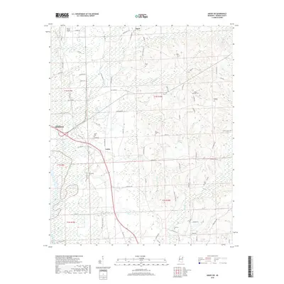
2018 Map of Amory SW
USGS Topo · Published 2018About this map
Monroe County Airport sits at the northern edge of this Monroe County landscape, where the terrain begins to transition toward the Tombigbee River valley. The map details a rural network of family and community landmarks, particularly evident in the concentration of local burial sites such as Burns Cem and Beeks Cem. Small settlements like Athens and Lackey are connected by a web of historic routes including Old Hwy 45 and Old Columbus Rd. Numerous waterways, including Nichols Cr, Stonewall Cr, and Butler Cr, drain the undulating ground, shaping the placement of farms and homesteads. Genealogists will find particular value in the clearly marked County Home Cem and Pleasant Hill Cem, which anchor the eastern portion of the survey area.
Find a feature on this map
75 named features on this map. Tap any name to fly to it.
Don’t see what you’re looking for? This feature index may not catch every label — zoom into the map to look around manually.
Map Details
Editions of this 2018 Amory SW Map
This is the sole edition of this map. No revisions or reprints were ever made.
Other maps of this area

1953 · West Point
USGS Topo · 1:250,000

1958 · West Point
USGS Topo · 1:250,000

1959 · West Point
USGS Topo · 1:62,500

1960 · Caledonia
USGS Topo · 1:62,500

1963 · West Point
USGS Topo · 1:250,000

1966 · Aberdeen
USGS Topo · 1:24,000

1966 · Amory
USGS Topo · 1:24,000

1966 · Amory SW
USGS Topo · 1:24,000

1966 · Wren
USGS Topo · 1:24,000

1966 · Greenwood Springs
USGS Topo · 1:24,000