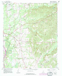
1992 Map of Amory SW
USGS Topo · Published 1995About this map
Athens and the surrounding rural communities of Monroe reflect a landscape shaped by both traditional agricultural life and a modernizing energy sector. The Tombigbee River and the Tennessee-Tombigbee Waterway dominate the western edge of the terrain, while the interior is marked by a dense network of local landmarks like the County Home and its associated County Home Cem. Family history is deeply rooted in the many local graveyards, including Nashville Cem and Weeks Cem, which sit alongside numerous country sanctuaries such as West Chapel and Athens Ch.
Find a feature on this map
43 named features on this map. Tap any name to fly to it.
Don’t see what you’re looking for? This feature index may not catch every label — zoom into the map to look around manually.
Map Details
Editions of this 1992 Amory SW Map
This is the sole edition of this map. No revisions or reprints were ever made.
Other maps of this area

1953 · West Point
USGS Topo · 1:250,000

1958 · West Point
USGS Topo · 1:250,000

1959 · West Point
USGS Topo · 1:62,500

1960 · Caledonia
USGS Topo · 1:62,500

1963 · West Point
USGS Topo · 1:250,000

1966 · Aberdeen
USGS Topo · 1:24,000

1966 · Amory
USGS Topo · 1:24,000

1966 · Amory SW
USGS Topo · 1:24,000

1966 · Wren
USGS Topo · 1:24,000

1966 · Greenwood Springs
USGS Topo · 1:24,000