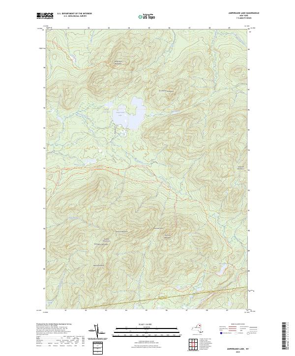
2023 Map of Ampersand Lake
USGS Topo · Published 2023About this map
Ampersand Lake and White Lily Pond occupy a central basin in this mountain landscape, surrounded by some of the most prominent peaks in the Adirondacks. The southern half of the map is dominated by the massive Seward Mountains, featuring individual summits like Seward Mountain, Donaldson Mountain, and Mount Emmons. These heights create a natural barrier, punctuated only by Ouluska Pass.
Find a feature on this map
37 named features on this map. Tap any name to fly to it.
Don’t see what you’re looking for? This feature index may not catch every label — zoom into the map to look around manually.
Map Details
Editions of this 2023 Ampersand Lake Map
This is the sole edition of this map. No revisions or reprints were ever made.
Other maps of this area

1902 · Saranac
USGS Topo · 1:62,500

1904 · Saranac
USGS Topo · 1:62,500

1904 · Santanoni
USGS Topo · 1:62,500

1904 · Long Lake
USGS Topo · 1:62,500

1905 · Saint Regis
USGS Topo · 1:62,500

1948 · Ogdensburg
USGS Topo · 1:250,000

1951 · Ogdensburg
USGS Topo · 1:250,000

1953 · Ogdensburg
USGS Topo · 1:250,000

1953 · Santanoni
USGS Topo · 1:62,500

1955 · Long Lake
USGS Topo · 1:62,500