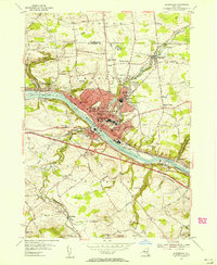
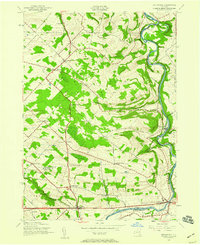
1954 Map of Amsterdam
USGS Topo · Published 1956About this map
The industrial and transportation corridor of the Mohawk River defines the landscape of Amsterdam in the mid-1950s. At this time, the city is a dense hub of civic activity, anchored by institutional landmarks such as St Marys Hospital and the Armory. The map illustrates the complex infrastructure of the era, where the New York Central Railroad and the Erie Canal parallel the river through the heart of the valley.
Find a feature on this map
74 named features on this map. Tap any name to fly to it.
Don’t see what you’re looking for? This feature index may not catch every label — zoom into the map to look around manually.
Map Details
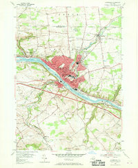
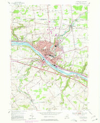
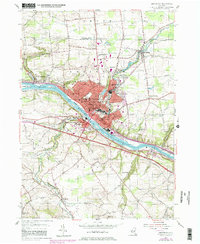
Editions of this 1954 Amsterdam Map
4 editions found
Other maps of this area

1895 · Amsterdam
USGS Topo · 1:62,500

1896 · Fonda
USGS Topo · 1:62,500

1898 · Fonda
USGS Topo · 1:62,500

1899 · Broadalbin
USGS Topo · 1:62,500

1902 · Broadalbin
USGS Topo · 1:62,500

1902 · Fonda
USGS Topo · 1:62,500

1903 · Gloversville
USGS Topo · 1:62,500

1931 · Amsterdam
USGS Topo · 1:62,500

1943 · Gloversville
USGS Topo · 1:62,500
1943 · Esperance
USGS Topo · 1:24,000