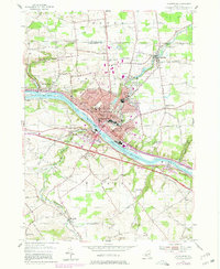
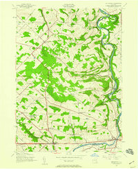
1954 Map of Amsterdam
USGS Topo · Published 1980About this map
The industrial and transportation corridor of Amsterdam dominates this mid-century landscape, where the Mohawk River and the parallel Erie Canal dictate the urban layout. The city's residential and civic infrastructure is dense with local history markers, from City Hall to a concentrated network of neighborhood schools like Wilbur Lynch High Sch and Theodore Roosevelt Junior High Sch. The influence of diverse immigrant communities is visible in the numerous parish landmarks, including St Marys Cath Ch and St Stanislaus Ch.
Find a feature on this map
75 named features on this map. Tap any name to fly to it.
Don’t see what you’re looking for? This feature index may not catch every label — zoom into the map to look around manually.
Map Details
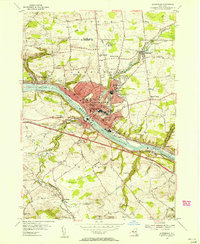
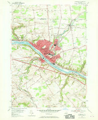
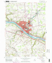
Editions of this 1954 Amsterdam Map
4 editions found
Other maps of this area

1895 · Amsterdam
USGS Topo · 1:62,500

1896 · Fonda
USGS Topo · 1:62,500

1898 · Fonda
USGS Topo · 1:62,500

1899 · Broadalbin
USGS Topo · 1:62,500

1902 · Broadalbin
USGS Topo · 1:62,500

1902 · Fonda
USGS Topo · 1:62,500

1903 · Gloversville
USGS Topo · 1:62,500

1931 · Amsterdam
USGS Topo · 1:62,500

1943 · Gloversville
USGS Topo · 1:62,500
1943 · Esperance
USGS Topo · 1:24,000