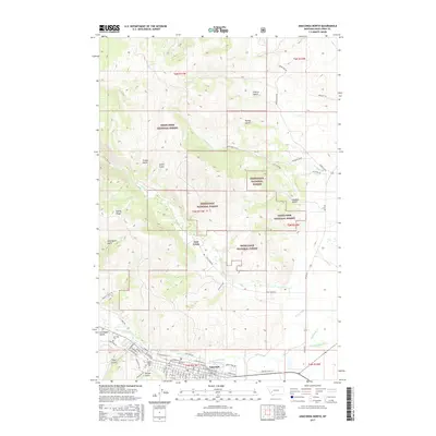
2017 Map of Anaconda North
USGS Topo · Published 2017About this map
Anaconda sits at the southern edge of this landscape, its grid defined by streets like E Park Avenue and Main Street. The town's industrial and civic history is anchored by names such as Marcus Daly Drive, reflecting the legacy of the Copper King. To the north, the terrain rises sharply into the Deerlodge National Forest, where steep drainages like Levengood Gulch and Timber Gulch carve into Stucky Ridge.
Find a feature on this map
66 named features on this map. Tap any name to fly to it.
Don’t see what you’re looking for? This feature index may not catch every label — zoom into the map to look around manually.
Map Details
Editions of this 2017 Anaconda North Map
This is the sole edition of this map. No revisions or reprints were ever made.
Other maps of this area

1889 · Helena
USGS Topo · 1:250,000

1893 · Helena
USGS Topo · 1:250,000

1899 · Helena
USGS Topo · 1:250,000

1903 · Helena
USGS Topo · 1:250,000

1908 · Philipsburg
USGS Topo · 1:125,000

1947 · Butte
USGS Topo · 1:250,000

1958 · Butte
USGS Topo · 1:250,000

1960 · Butte
USGS Topo · 1:250,000

1961 · Anaconda
USGS Topo · 1:62,500

1962 · Butte
USGS Topo · 1:250,000