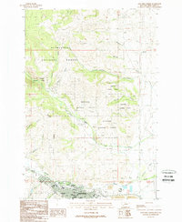
1989 Map of Anaconda North
USGS Topo · Published 1989About this map
Anaconda anchors the southern edge of this landscape, its urban grid tightly packed against the base of Stucky Ridge. The map documents a town defined by its industrial heritage, where extensive Tailings deposits and a Gravel Pit lie just north of the residential blocks. Public life in the late 20th century is centered around institutions like Washington School, Lincoln School, and the Community Hospital, while recreation is found at Washoe Park and the local Drag Strip.
Find a feature on this map
38 named features on this map. Tap any name to fly to it.
Don’t see what you’re looking for? This feature index may not catch every label — zoom into the map to look around manually.
Map Details
Editions of this 1989 Anaconda North Map
This is the sole edition of this map. No revisions or reprints were ever made.
Other maps of this area

1889 · Helena
USGS Topo · 1:250,000

1893 · Helena
USGS Topo · 1:250,000

1899 · Helena
USGS Topo · 1:250,000

1903 · Helena
USGS Topo · 1:250,000

1908 · Philipsburg
USGS Topo · 1:125,000

1947 · Butte
USGS Topo · 1:250,000

1958 · Butte
USGS Topo · 1:250,000

1960 · Butte
USGS Topo · 1:250,000

1961 · Anaconda
USGS Topo · 1:62,500

1962 · Butte
USGS Topo · 1:250,000