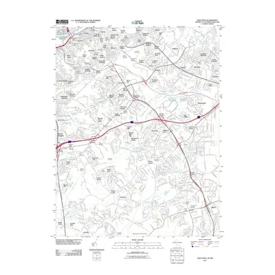
2011 Map of Anacostia
USGS Topo · Published 2011About this map
Anacostia and the suburban expanses of Prince George's County are documented here in a period of significant regional connectivity. The landscape is defined by a dense network of residential communities such as Fairlawn, District Heights, and Clinton, many of which developed around historic crossroads like Pagetts Corner and Gordons Corner. The area's social and community infrastructure is particularly visible through its numerous civic markers, including the Frederick Douglass Post Office and the Suitland Post Office.
Find a feature on this map
125 named features on this map. Tap any name to fly to it.
Don’t see what you’re looking for? This feature index may not catch every label — zoom into the map to look around manually.
Map Details
Editions of this 2011 Anacostia Map
This is the sole edition of this map. No revisions or reprints were ever made.
Other maps of this area

1890 · Mt. Vernon
USGS Topo · 1:125,000

1891 · Mt. Vernon
USGS Topo · 1:125,000

1892 · Brandywine
USGS Topo · 1:62,500

1894 · Mt. Vernon
USGS Topo · 1:125,000

1895 · Brandywine
USGS Topo · 1:62,500

1897 · Mt. Vernon
USGS Topo · 1:125,000

1899 · Patuxent
USGS Topo · 1:125,000

1900 · Washington
USGS Topo · 1:62,500

1906 · Patuxent
USGS Topo · 1:125,000

1911 · Brandywine
USGS Topo · 1:62,500