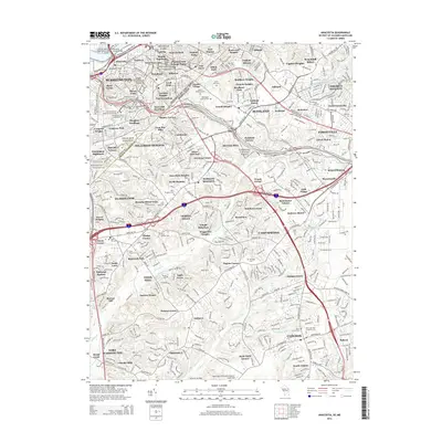
2014 Map of Anacostia
USGS Topo · Published 2014About this map
The Anacostia River and its surrounding wetlands define the western boundary of this Maryland-D.C. border region, where dense urban neighborhoods give way to the suburban sprawl of Prince Georges Co. This mid-2010s survey reveals a landscape deeply connected to its historical roots, preserved through the National Capital Parks system and landmarks like Fort Davis Park. The transition from the Anacostia district to the District Heights and Suitland areas illustrates the high-density residential development of the modern era, yet numerous burial grounds such as the Saint Elizabeths Hospital Cemeteries and Lincoln Memorial Cem offer valuable points of reference for local genealogists. Aviation interests are noted to the south with the Potomac Airfield and Washington Executive Airport/ Hyde Field, highlighting the region's role as a transportation hub near the heart of the capital.
Find a feature on this map
128 named features on this map. Tap any name to fly to it.
Don’t see what you’re looking for? This feature index may not catch every label — zoom into the map to look around manually.
Map Details
Editions of this 2014 Anacostia Map
This is the sole edition of this map. No revisions or reprints were ever made.
Other maps of this area

1890 · Mt. Vernon
USGS Topo · 1:125,000

1891 · Mt. Vernon
USGS Topo · 1:125,000

1892 · Brandywine
USGS Topo · 1:62,500

1894 · Mt. Vernon
USGS Topo · 1:125,000

1895 · Brandywine
USGS Topo · 1:62,500

1897 · Mt. Vernon
USGS Topo · 1:125,000

1899 · Patuxent
USGS Topo · 1:125,000

1900 · Washington
USGS Topo · 1:62,500

1906 · Patuxent
USGS Topo · 1:125,000

1911 · Brandywine
USGS Topo · 1:62,500