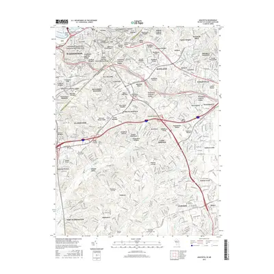
2016 Map of Anacostia
USGS Topo · Published 2016About this map
The Anacostia River and its surrounding heights define the border between the District of Columbia and Maryland on this 2016 survey. The map details the urban and suburban transition southeast of Washington, including the Frederick Douglass National Historic Site and the sprawling grounds of the Saint Elizabeths Hospital Cemeteries. Settlement patterns range from the historic Anacostia neighborhood to Maryland communities like Suitland and District Heights, with the landscape dominated by major infrastructure such as the Suitland Pkwy and Pennsylvania Ave.
Find a feature on this map
114 named features on this map. Tap any name to fly to it.
Don’t see what you’re looking for? This feature index may not catch every label — zoom into the map to look around manually.
Map Details
Editions of this 2016 Anacostia Map
This is the sole edition of this map. No revisions or reprints were ever made.
Other maps of this area

1890 · Mt. Vernon
USGS Topo · 1:125,000

1891 · Mt. Vernon
USGS Topo · 1:125,000

1892 · Brandywine
USGS Topo · 1:62,500

1894 · Mt. Vernon
USGS Topo · 1:125,000

1895 · Brandywine
USGS Topo · 1:62,500

1897 · Mt. Vernon
USGS Topo · 1:125,000

1899 · Patuxent
USGS Topo · 1:125,000

1900 · Washington
USGS Topo · 1:62,500

1906 · Patuxent
USGS Topo · 1:125,000

1911 · Brandywine
USGS Topo · 1:62,500