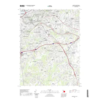
2019 Map of Anacostia
USGS Topo · Published 2019About this map
National Capital Parks and historic defensive sites like Fort Dupont and Fort Davis anchor the landscape where the District of Columbia meets Maryland. This contemporary survey captures the densely settled corridor stretching from Anacostia and Twining southeast into the suburban reaches of Prince George's County. The urban-suburban transition is defined by a heavy concentration of memorial sites and religious landmarks, including the Lincoln Memorial Cem and Washington Hebrew Congregation Cem.
Find a feature on this map
102 named features on this map. Tap any name to fly to it.
Don’t see what you’re looking for? This feature index may not catch every label — zoom into the map to look around manually.
Map Details
Editions of this 2019 Anacostia Map
This is the sole edition of this map. No revisions or reprints were ever made.
Other maps of this area

1890 · Mt. Vernon
USGS Topo · 1:125,000

1891 · Mt. Vernon
USGS Topo · 1:125,000

1892 · Brandywine
USGS Topo · 1:62,500

1894 · Mt. Vernon
USGS Topo · 1:125,000

1895 · Brandywine
USGS Topo · 1:62,500

1897 · Mt. Vernon
USGS Topo · 1:125,000

1899 · Patuxent
USGS Topo · 1:125,000

1900 · Washington
USGS Topo · 1:62,500

1906 · Patuxent
USGS Topo · 1:125,000

1911 · Brandywine
USGS Topo · 1:62,500