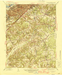
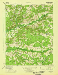
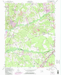
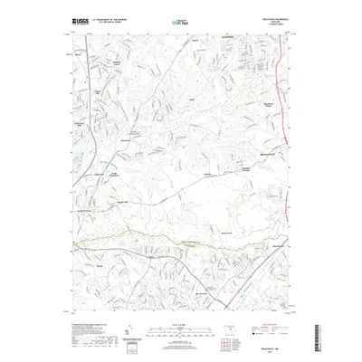
1945 Map of Anacostia
USGS Topo · Published 1945About this map
The Anacostia River and its surrounding Anacostia Highlands define this 1945 landscape, capturing the southeastern edge of the District of Columbia and Prince George's County border just after the war. In the northwest, the dense urban street grid of Anacostia and Uniontown Station gives way to sprawling institutional grounds like St Elizabeths Hospital and various historic defense sites including Fort Stanton Park.
Find a feature on this map
73 named features on this map. Tap any name to fly to it.
Don’t see what you’re looking for? This feature index may not catch every label — zoom into the map to look around manually.
Map Details
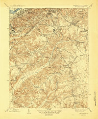
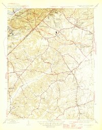
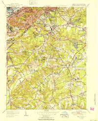
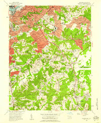
Editions of this 1945 Anacostia Map
3 editions found
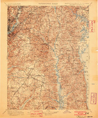
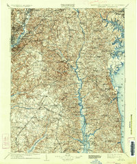
Historical Maps of Washington Through Time
12 maps found
1899 Patuxent
Prince George's County, MD
1906 Patuxent
Prince George's County, MD
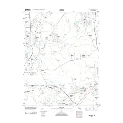
1944 Piscataway
Prince George's County, MD
1945 Anacostia
Prince George's County, MD
1951 Anacostia
Prince George's County, MD
1956 Anacostia
Prince George's County, MD
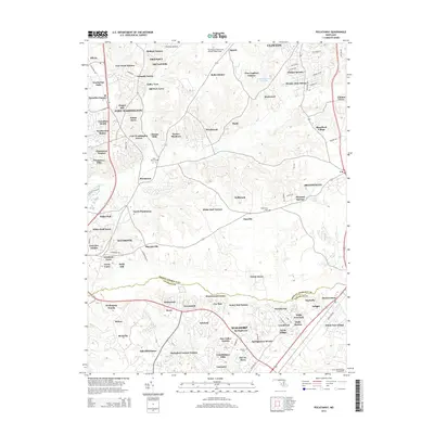
1957 Piscataway
Prince George's County, MD
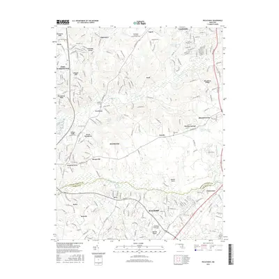
2011 Piscataway
Prince George's County, MD
2014 Piscataway
Prince George's County, MD
2016 Piscataway
Prince George's County, MD
2019 Piscataway
Prince George's County, MD
2023 Piscataway
Prince George's County, MD