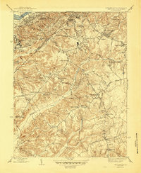
1945 Map of Anacostia
USGS Topo · Published 1945About this map
St Elizabeths Hospital and the sprawling military grounds of Camp Simms anchor the western edge of this 1940s landscape, where the urban character of Southeast D.C. transitions into the developing hills of Prince George's County. The map documents a pivotal era of growth along major corridors like Pennsylvania Ave and Suitland Road, showing a network of established neighborhoods such as Anacostia and Silver Hill alongside newer developments like District Heights and Morningside.
Find a feature on this map
83 named features on this map. Tap any name to fly to it.
Don’t see what you’re looking for? This feature index may not catch every label — zoom into the map to look around manually.
Map Details
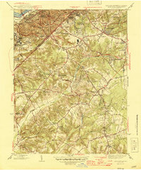
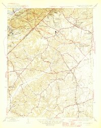
Editions of this 1945 Anacostia Map
3 editions found
Other maps of this area

1890 · Mt. Vernon
USGS Topo · 1:125,000

1891 · Mt. Vernon
USGS Topo · 1:125,000

1892 · Brandywine
USGS Topo · 1:62,500

1894 · Mt. Vernon
USGS Topo · 1:125,000

1895 · Brandywine
USGS Topo · 1:62,500

1897 · Mt. Vernon
USGS Topo · 1:125,000

1899 · Patuxent
USGS Topo · 1:125,000

1900 · Washington
USGS Topo · 1:62,500

1906 · Patuxent
USGS Topo · 1:125,000

1911 · Brandywine
USGS Topo · 1:62,500