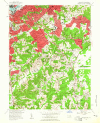
1956 Map of Anacostia
USGS Topo · Published 1956About this map
The Anacostia River and the expanding borderlands between the District of Columbia and Prince George's County define this mid-1950s landscape. Established institutions like St Elizabeths Hospital and the U S Navy Hydrographic Office sit alongside emerging residential developments such as Glassmanor and Silver Hill. The map records a significant concentration of federal and military infrastructure, including the sprawling Andrews Air Force Base and the U S Census Bureau.
Find a feature on this map
136 named features on this map. Tap any name to fly to it.
Don’t see what you’re looking for? This feature index may not catch every label — zoom into the map to look around manually.
Map Details
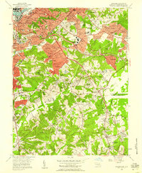
Editions of this 1956 Anacostia Map
2 editions found
Other maps of this area

1890 · Mt. Vernon
USGS Topo · 1:125,000

1891 · Mt. Vernon
USGS Topo · 1:125,000

1892 · Brandywine
USGS Topo · 1:62,500

1894 · Mt. Vernon
USGS Topo · 1:125,000

1895 · Brandywine
USGS Topo · 1:62,500

1897 · Mt. Vernon
USGS Topo · 1:125,000

1899 · Patuxent
USGS Topo · 1:125,000

1900 · Washington
USGS Topo · 1:62,500

1906 · Patuxent
USGS Topo · 1:125,000

1911 · Brandywine
USGS Topo · 1:62,500