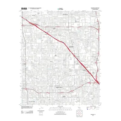
2012 Map of Anaheim
USGS Topo · Published 2012About this map
Disneyland dominates the central landscape of this 2012 survey, its footprint marked by the Matterhorn and proximity to the Anaheim Tower. The map illustrates the dense urban evolution of northern Orange County, where established neighborhoods like West Anaheim and Garden Grove are woven together by an intricate grid of boulevards and residential streets. This era shows a community heavily invested in education and memorial spaces, from the North Orange County Community College District - Anaheim Campus to several large-scale final resting places such as Anaheim Cem and Melrose Abbey.
Find a feature on this map
134 named features on this map. Tap any name to fly to it.
Don’t see what you’re looking for? This feature index may not catch every label — zoom into the map to look around manually.
Map Details
Editions of this 2012 Anaheim Map
This is the sole edition of this map. No revisions or reprints were ever made.
Other maps of this area

1896 · Santa Ana
USGS Topo · 1:62,500

1896 · Anaheim
USGS Topo · 1:62,500

1896 · Las Bolsas
USGS Topo · 1:62,500

1896 · Downey
USGS Topo · 1:62,500

1898 · Anaheim
USGS Topo · 1:62,500

1899 · Downey
USGS Topo · 1:62,500

1901 · Southern California Sheet No. 1
USGS Topo · 1:250,000

1901 · Santa Ana
USGS Topo · 1:62,500

1901 · Anaheim
USGS Topo · 1:62,500

1902 · Downey
USGS Topo · 1:62,500