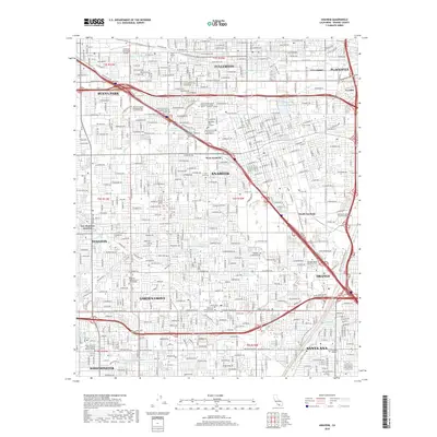
2018 Map of Anaheim
USGS Topo · Published 2018About this map
The Santa Ana River flows through a landscape defined by rapid urbanization and the meeting of several major Orange County cities. This 2018 survey documents the dense street grids of Anaheim, Orange, and Garden Grove, while preserving the location of institutional anchors such as Santa Ana College and the Fullerton Municipal Airport. The map highlights a complex hydrographic system designed for water management, including the Raymond Retarding Basin and the West Street Basin, which channel runoff through the developed corridor. Genealogists can locate several historic burial grounds, from the Anaheim Cem to the Magnolia Memorial Park and Gardens in the southwest. The presence of smaller districts like West Anaheim and South Anaheim illustrates the evolution of these neighborhoods within the larger metropolitan sprawl.
Find a feature on this map
98 named features on this map. Tap any name to fly to it.
Don’t see what you’re looking for? This feature index may not catch every label — zoom into the map to look around manually.
Map Details
Editions of this 2018 Anaheim Map
This is the sole edition of this map. No revisions or reprints were ever made.
Other maps of this area

1896 · Santa Ana
USGS Topo · 1:62,500

1896 · Anaheim
USGS Topo · 1:62,500

1896 · Las Bolsas
USGS Topo · 1:62,500

1896 · Downey
USGS Topo · 1:62,500

1898 · Anaheim
USGS Topo · 1:62,500

1899 · Downey
USGS Topo · 1:62,500

1901 · Southern California Sheet No. 1
USGS Topo · 1:250,000

1901 · Santa Ana
USGS Topo · 1:62,500

1901 · Anaheim
USGS Topo · 1:62,500

1902 · Downey
USGS Topo · 1:62,500