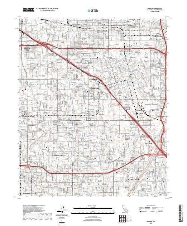
2022 Map of Anaheim
USGS Topo · Published 2022About this map
Anaheim and the surrounding cities of Fullerton, Garden Grove, and Santa Ana are shown in this contemporary topographic survey, reflecting the dense urban fabric of northern Orange County. The landscape is characterized by a high concentration of educational and civic institutions, including Santa Ana College and the Orange County Justice Center. Water management remains a critical feature of the terrain, visible in the channelized course of the Santa Ana River and engineered structures like the Raymond Retarding Basin and West Street Basin.
Find a feature on this map
153 named features on this map. Tap any name to fly to it.
Don’t see what you’re looking for? This feature index may not catch every label — zoom into the map to look around manually.
Map Details
Editions of this 2022 Anaheim Map
This is the sole edition of this map. No revisions or reprints were ever made.
Other maps of this area

1896 · Santa Ana
USGS Topo · 1:62,500

1896 · Anaheim
USGS Topo · 1:62,500

1896 · Las Bolsas
USGS Topo · 1:62,500

1896 · Downey
USGS Topo · 1:62,500

1898 · Anaheim
USGS Topo · 1:62,500

1899 · Downey
USGS Topo · 1:62,500

1901 · Southern California Sheet No. 1
USGS Topo · 1:250,000

1901 · Santa Ana
USGS Topo · 1:62,500

1901 · Anaheim
USGS Topo · 1:62,500

1902 · Downey
USGS Topo · 1:62,500