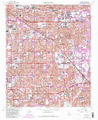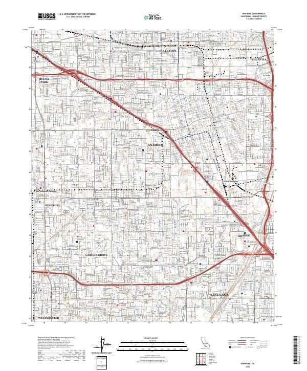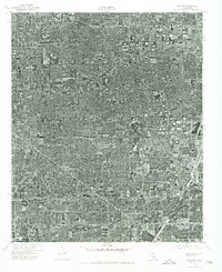
1974 Map of Anaheim
USGS Topo · Published 1977About this map
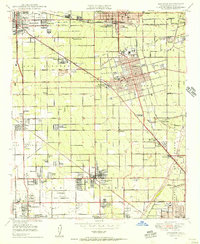
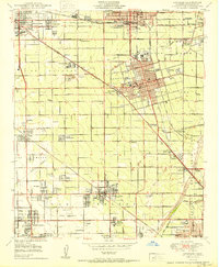
Anaheim and the surrounding cities of Garden Grove, Buena Park, and Orange appear in dense urban detail in this orthophotograph based on 1974 aerial imagery. The sheet reveals the complex street grids and residential development typical of Orange County in the mid-1970s, during a period of significant suburban intensification. The Santa Ana River cuts through the southeastern portion of the map, serving as a distinct geographical break in the otherwise continuous built environment. This specific imagery was captured on November 6, 1974, providing a high-resolution visual of the region's road networks, commercial clusters, and land use patterns as they existed before further modern expansion and infill projects.
Find a feature on this map
5 named features on this map. Tap any name to fly to it.
Don’t see what you’re looking for? This feature index may not catch every label — zoom into the map to look around manually.
Map Details
Editions of this 1974 Anaheim Map
This is the sole edition of this map. No revisions or reprints were ever made.
Historical Maps of Buena Park Through Time
9 maps found