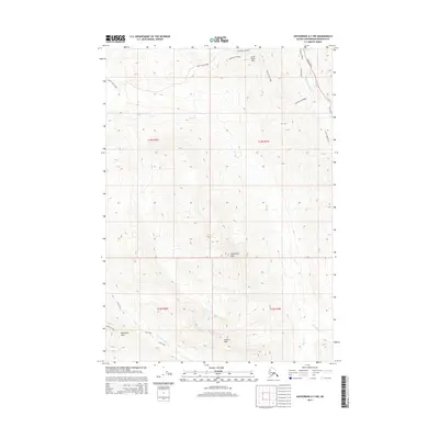
2015 Map of Anchorage A-7 NW
USGS Topo · Published 2015About this map
Rendezvous Peak and Temptation Peak dominate the high-altitude landscape of this 2015 survey, which captures the Chugach Mountains east of Anchorage. The terrain is defined by steep contour intervals and significant alpine summits, including Wolverine Peak and Tanaina Peak. Significant hydrologic features originate in these highlands, such as Ship Creek and the North Fork Campbell Creek, which flow toward the more developed coastal lowlands. While the southern and central portions of the sheet remain dominated by wilderness, the northeastern corner shows residential developments along Hiland Road and Sun Valley Drive near the South Fork Eagle River. This map illustrates the sharp boundary between the suburban expansion of the Anchorage municipality and the protected mountainous interior, including the access provided via Arctic Valley Road.
Find a feature on this map
21 named features on this map. Tap any name to fly to it.
Don’t see what you’re looking for? This feature index may not catch every label — zoom into the map to look around manually.
Map Details
Editions of this 2015 Anchorage A-7 NW Map
This is the sole edition of this map. No revisions or reprints were ever made.
Other maps of this area

1951 · Anchorage
USGS Topo · 1:250,000

1952 · Anchorage A-8
USGS Topo · 1:63,360

1952 · Anchorage B-8
USGS Topo · 1:63,360

1953 · Anchorage A-8
USGS Topo · 1:63,360

1953 · Anchorage B-8
USGS Topo · 1:63,360

1960 · Anchorage B-7
USGS Topo · 1:63,360

1960 · Anchorage A-7
USGS Topo · 1:63,360

1962 · Anchorage
USGS Topo · 1:250,000

1965 · Anchorage B-8
USGS Topo · 1:63,360

1979 · Anchorage B-7 SW
USGS Topo · 1:25,000