
1979 Map of Anchorage B-7 SW
USGS Topo · Published 1979About this map
The growing community of Eagle River occupies a central position on this 1970s survey, illustrating the expanding residential and civic footprint between the coast and the mountains. The landscape is defined by the glacial Moraine and the presence of significant institutions like the State Correctional Center and Chugiak High Sch. To the west, the Alaska Railroad and Fort Richardson Military Reservation represent the area's vital transportation and defense foundations, while the Glenn Highway serves as the primary artery connecting these hubs.
Find a feature on this map
36 named features on this map. Tap any name to fly to it.
Don’t see what you’re looking for? This feature index may not catch every label — zoom into the map to look around manually.
Map Details
Editions of this 1979 Anchorage B-7 SW Map
4 editions found
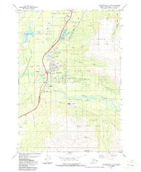
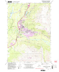
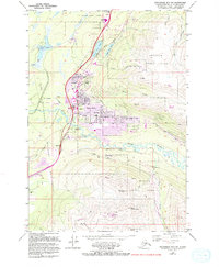
Other maps of this area

1951 · Anchorage
USGS Topo · 1:250,000

1952 · Anchorage A-8
USGS Topo · 1:63,360

1952 · Anchorage B-8
USGS Topo · 1:63,360

1953 · Anchorage A-8
USGS Topo · 1:63,360

1953 · Anchorage B-8
USGS Topo · 1:63,360

1960 · Anchorage B-7
USGS Topo · 1:63,360

1960 · Anchorage A-7
USGS Topo · 1:63,360

1962 · Anchorage
USGS Topo · 1:250,000

1965 · Anchorage B-8
USGS Topo · 1:63,360
1979 · Anchorage B-7 SE
USGS Topo · 1:25,000