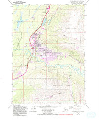
1979 Map of Anchorage B-7 SW
USGS Topo · Published 1994About this map
Eagle River sits at the heart of this landscape, emerging as a primary community hub where the Glenn Highway intersects with the Eagle River valley. The map documents the rapid suburban development of the late 20th century, with significant infrastructure additions like Ravenwood Sch and the expansion of residential roads like Citation Rd. Beyond the town center, the terrain rises sharply into the peaks of Chugach State Park, including the prominent Mt Baldy and Highland Mountain, which stand in contrast to the developed lowlands.
Find a feature on this map
43 named features on this map. Tap any name to fly to it.
Don’t see what you’re looking for? This feature index may not catch every label — zoom into the map to look around manually.
Map Details
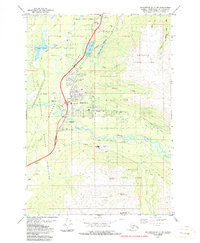
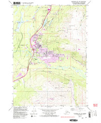
Editions of this 1979 Anchorage B-7 SW Map
4 editions found
Other maps of this area

1951 · Anchorage
USGS Topo · 1:250,000

1952 · Anchorage A-8
USGS Topo · 1:63,360

1952 · Anchorage B-8
USGS Topo · 1:63,360

1953 · Anchorage A-8
USGS Topo · 1:63,360

1953 · Anchorage B-8
USGS Topo · 1:63,360

1960 · Anchorage B-7
USGS Topo · 1:63,360

1960 · Anchorage A-7
USGS Topo · 1:63,360

1962 · Anchorage
USGS Topo · 1:250,000

1965 · Anchorage B-8
USGS Topo · 1:63,360

1979 · Anchorage B-7 SW
USGS Topo · 1:25,000