
1960 Map of Anchorage A-7
USGS Topo · Published 1961About this map
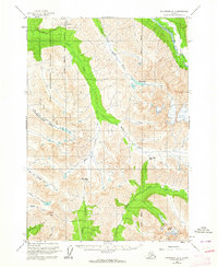
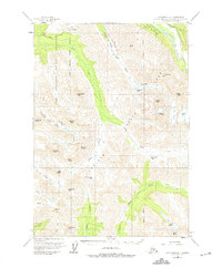
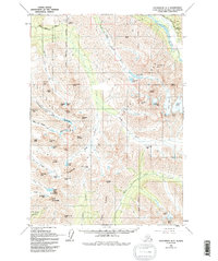
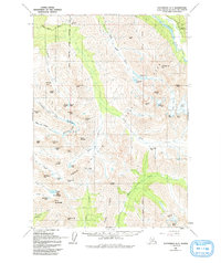
The Fort Richardson Military Reservation occupies a massive portion of the northwestern landscape in this 1960 survey, its Military Reservation Boundary cutting through the high country. The topography is defined by the glacial drainage systems of the Eagle River and Ship Creek, with the towering heights of Suicide Peak overlooking the valleys. A recreational Ski Bowl reached via Bowl Road indicates early winter sports development in the Chugach Range, while remote cabins are scattered near the South Fork Eagle River.
Find a feature on this map
23 named features on this map. Tap any name to fly to it.
Don’t see what you’re looking for? This feature index may not catch every label — zoom into the map to look around manually.
Map Details
Editions of this 1960 Anchorage A-7 Map
5 editions found
Other maps of this area

1951 · Seward
USGS Topo · 1:250,000

1951 · Anchorage
USGS Topo · 1:250,000

1951 · Seward D-8
USGS Topo · 1:63,360

1951 · Seward D-7
USGS Topo · 1:63,360

1951 · Seward D-6
USGS Topo · 1:63,360

1952 · Seward D-8
USGS Topo · 1:63,360

1952 · Seward D-6
USGS Topo · 1:63,360

1952 · Seward D-7
USGS Topo · 1:63,360

1952 · Anchorage A-8
USGS Topo · 1:63,360

1952 · Anchorage B-8
USGS Topo · 1:63,360