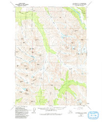
1960 Map of Anchorage A-7
USGS Topo · Published 1993About this map
Fort Richardson Military Reservation dominates the northwestern portion of this Alaskan landscape, where the Arctic Valley Road leads into the high country near the Alpenglow Ski Area. The topography is defined by the sharp transition from the Eagle River valley into the high peaks of Chugach State Park. Surveyed in the late 1950s and annotated in 1960, the map traces early access routes like Powerline Pass and the approach to the Eagle River Visitor Center. Glacial features are prominent, including Flute Glacier and the high alpine Eagle Lake and Symphony Lake. This document captures the wilderness character of the front range before extensive modern trail development, recording the original nomenclature for peaks like Mount Williwaw and North Suicide Peak.
Find a feature on this map
62 named features on this map. Tap any name to fly to it.
Don’t see what you’re looking for? This feature index may not catch every label — zoom into the map to look around manually.
Map Details
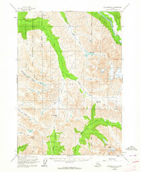
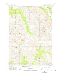
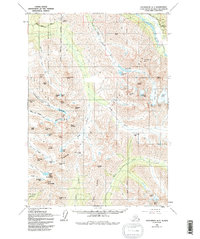
Editions of this 1960 Anchorage A-7 Map
5 editions found

Other maps of this area

1951 · Seward
USGS Topo · 1:250,000

1951 · Anchorage
USGS Topo · 1:250,000

1951 · Seward D-8
USGS Topo · 1:63,360

1951 · Seward D-7
USGS Topo · 1:63,360

1951 · Seward D-6
USGS Topo · 1:63,360

1952 · Seward D-8
USGS Topo · 1:63,360

1952 · Seward D-6
USGS Topo · 1:63,360

1952 · Seward D-7
USGS Topo · 1:63,360

1952 · Anchorage A-8
USGS Topo · 1:63,360

1952 · Anchorage B-8
USGS Topo · 1:63,360