
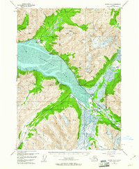
1952 Map of Seward D-6
USGS Topo · Published 1954About this map
Girdwood stands at the northern edge of this coastal landscape, where glacial waters from Glacier Creek and Winner Creek descend toward the shifting mudflats of Turnagain Arm. In the early 1950s, the region was defined by the critical transit corridor of The Alaska Railroad and the newly developed Anchorage Seward Highway, which trace the shoreline toward the settlement of Portage. The interior reveals an industrial and logistical footprint within the Chugach National Forest, featuring the Twentymile Sawmill and the Lower Engineers Camp. Small stop points like Lyon, Taylor, and Bertha line the southern mountain passes, while aviation infrastructure is represented by a local Air Strip and an Emergency Landing Field near the Placer River Valley. The map detail captures the complex drainage systems of the Twentymile River and Glacier River before modern development further altered these tidal flats.
Find a feature on this map
37 named features on this map. Tap any name to fly to it.
Don’t see what you’re looking for? This feature index may not catch every label — zoom into the map to look around manually.
Map Details
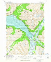
Editions of this 1952 Seward D-6 Map
3 editions found
Other maps of this area

1951 · Seward
USGS Topo · 1:250,000

1951 · Anchorage
USGS Topo · 1:250,000

1951 · Seward C-6
USGS Topo · 1:63,360

1951 · Seward D-5
USGS Topo · 1:63,360

1951 · Seward C-5
USGS Topo · 1:63,360

1951 · Seward D-7
USGS Topo · 1:63,360

1951 · Seward C-7
USGS Topo · 1:63,360

1951 · Seward D-6
USGS Topo · 1:63,360

1952 · Seward D-5
USGS Topo · 1:63,360

1952 · Seward C-6
USGS Topo · 1:63,360