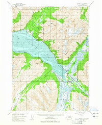
1952 Map of Seward D-6
USGS Topo · Published 1965About this map
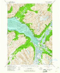
Turnagain Arm dominates this mid-century landscape, where the tides of the Cook Inlet met the early industrial infrastructure of Southcentral Alaska. At the mouth of Glacier Creek, the settlement of Girdwood is positioned just below the slopes of Mount Alyeska, before the area became a major international ski destination. The map documents the critical transport corridor where The Alaska Railroad and the Anchorage Seward Highway skirt the coastal mudflats, providing a vital link between the Kenai Peninsula and Anchorage. Further east at the head of the arm, the town of Portage serves as a junction near the Twentymile Sawmill and Lower Engineers Camp. The presence of several airstrips and a gravel pit near the Placer River valley highlights the logistical importance of this narrow passage between the mountains and the sea during the post-war era.
Find a feature on this map
43 named features on this map. Tap any name to fly to it.
Don’t see what you’re looking for? This feature index may not catch every label — zoom into the map to look around manually.
Map Details
Editions of this 1952 Seward D-6 Map
3 editions found

Other maps of this area

1951 · Seward
USGS Topo · 1:250,000

1951 · Anchorage
USGS Topo · 1:250,000

1951 · Seward C-6
USGS Topo · 1:63,360

1951 · Seward D-5
USGS Topo · 1:63,360

1951 · Seward C-5
USGS Topo · 1:63,360

1951 · Seward D-7
USGS Topo · 1:63,360

1951 · Seward C-7
USGS Topo · 1:63,360

1951 · Seward D-6
USGS Topo · 1:63,360

1952 · Seward D-5
USGS Topo · 1:63,360

1952 · Seward C-6
USGS Topo · 1:63,360